Beyond capture, we bring the digital tools that make spatial data usable — available to your team through AeroInspect.
PRD-01 · Reseller
SpatialSense
One platform for point clouds, BIM and 360° construction data. Your site’s aerial and handheld LiDAR captures become a living digital twin — viewable, measurable and shareable by your whole project team, in the browser.
Point clouds, BIM models and 360° imagery in a single workspace
Compare as-built capture against BIM to verify progress and catch deviations early
Whole-team access — contractors, consultants and clients on the same live dataset
AeroInspect captures land directly in your workspace, ready to use
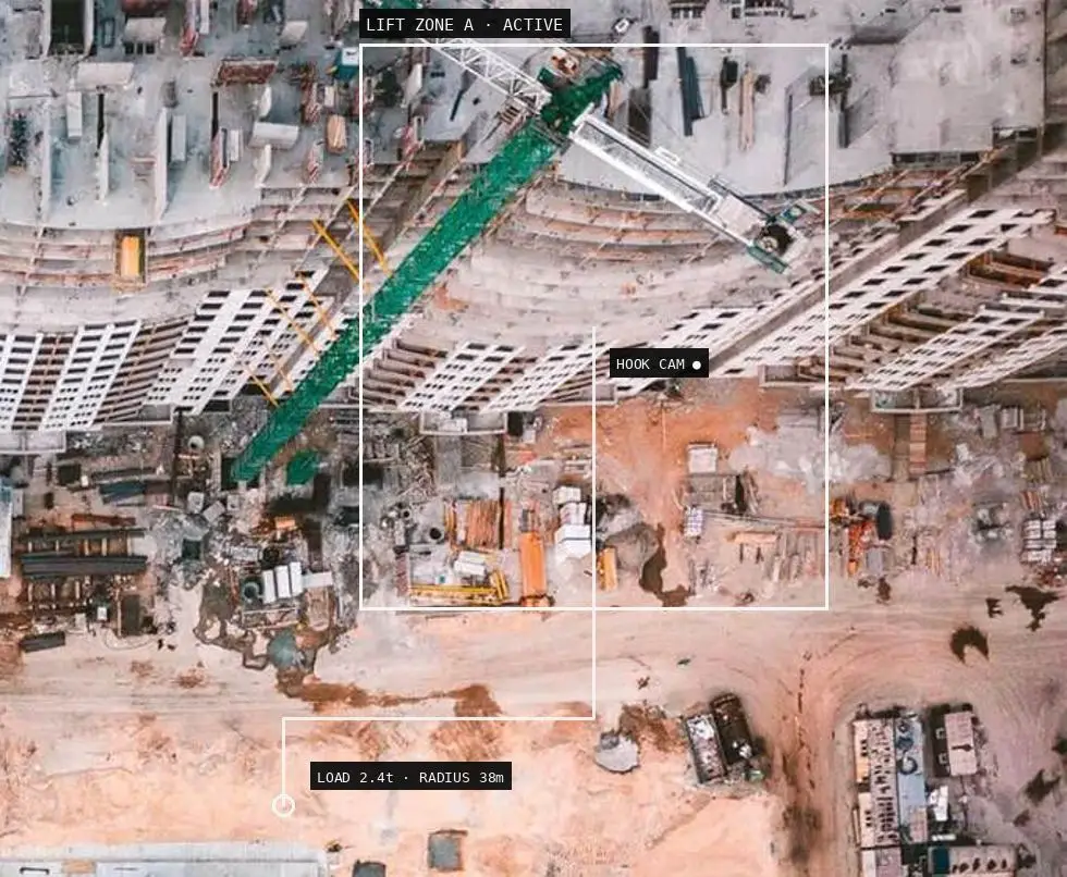
BIM-integrated crane management. Lifting operations planned, monitored and logged against your project’s BIM model — crane activity in the same digital environment as the rest of your site data.
One dashboard for site safety devices — WBGT weather stations tracking heat-stress and lightning risk, smart wearables monitoring worker vitals like heart rate — combined into a single live safety picture.
On-site WBGT station: heat-stress and lightning risk alerts
AI eyes on your site. Computer vision watches camera feeds for unsafe conditions and alerts your team in real time — before near-misses become incidents.